
Mount Pleasant Neighbors by Block Record
For Mount Pleasant neighbors, the first question is spatial: which parcels touch the starting parcel on the map? That is not the same as a social, household, or current-occupancy question. Isabella County GIS can identify the map relationship. City property records can provide a dated owner, tax, or assessment field. The Register of Deeds can document a land interest. Historic directories and newspapers can add a dated household clue. Each record should stay in its own lane, especially when a mailing address, legal owner, and actual occupant may differ.
| Block source | What it can show around an address | Best access route |
|---|---|---|
| Isabella County FetchGIS | Parcel outline, nearby parcels, road context, and selected property/map fields | Free county map; record the viewed map date and theme |
| City of Mt Pleasant BS&A | Address, name, or parcel search with tax, assessing, detailed-record, and sale routes | Public municipality 226 search; coverage dates were not displayed |
| Register of Deeds | Recorded parties, legal descriptions, document type, date, and instrument reference | Quick or Advanced Search, then Register of Deeds counter or tract route |
| Michigan QVF route | Election-jurisdiction data where lawfully requested, subject to protected fields | Michigan.gov/Vote for individual status, or a focused QVF request |
| Historical directories | Dated street or household clues for a prior block | CRDL, Clarke, Library of Michigan, and the Luedders 1930 archive |
An owner field is not an occupant field. A parcel that looks adjacent may be separated by a right-of-way, alley, water, or other feature. A directory name may be historical. Those distinctions are the core of a careful Mount Pleasant neighbor lookup.
Map Mount Pleasant Neighbors Parcel by Parcel
Isabella County FetchGIS supplies the county-scale map layer for an immediate-block question. Its official parcel-report example documents fields such as parcel number, property address, owner and mailing address, tax year, assessed, taxable, and state-equalized values, property class, school district, exemption, and nearby parcel labels. The example is a field inventory, not a Mount Pleasant resident result. Use only the pieces needed to establish a mapped land relationship.
The parcel-to-adjacent process is: known address → BS&A parcel number → FetchGIS map and adjoining parcel IDs → date-stamped assessment or land-record reference → separately labeled historical clue, if one is needed. Mount Pleasant's by-street directory covers the longer street-level record chain; a block inquiry should stop at the immediate parcel relationship unless a dated record supports more.
- Normalize the target address with the postal form, then search BS&A municipality 226 by Address to capture the parcel number and portal year.
- Open that parcel in FetchGIS and record the map date or theme, the target parcel ID, and each immediately touching parcel ID with its north, south, east, or west relationship.
- Check the adjacent parcel in BS&A only for the relevant dated property or tax field. A mailing address does not establish physical presence.
- Use the legal description and the Isabella deed index only when a recorded relationship needs confirmation. Read the instrument type before treating it as a transfer.
- For a historic block, add one dated directory, map, or newspaper result and identify it as historical rather than current.
Note: A corner parcel can have more than one frontage, and a map label can be offset from the legal boundary, so verify a meaningful result with the assessor, GIS office, or recorded instrument.
Keep a Small Mount Pleasant Block Table
A block note does not need names, phone numbers, or a roster. A data-minimized table makes the work repeatable while keeping the focus on parcel geography. Leave a cell blank if the source does not provide the field. When a historical person must be relevant to a narrow research question, cite the dated source and omit modern contact details.
| Field to retain | Why it is useful | Do not add |
|---|---|---|
| Target and adjacent parcel IDs | Shows the mapped land relationship | Assumptions about social neighbors |
| Adjacent direction and map date | Makes the GIS observation reproducible | Private contact details |
| Address and property or tax class | Separates address context from a personal claim | An unsupported occupant label |
| Instrument or assessment date | Shows the time period of a land or tax record | A statement that the dated owner currently lives there |
| Historical directory year and custodian | Preserves a source-specific neighborhood clue | A merged profile from unrelated records |
Use the county GIS map for discovery and a deed, plat, or assessor explanation for a legal relationship. A generalized map can make two parcels look next door even when a public way or another boundary lies between them. The reverse can also happen with a parcel behind another parcel. The map and the land description answer different parts of the question.
Mount Pleasant Neighbors and Voter Geography
Election geography is a separate layer from parcel geography. Michigan Voter Information Center is the individual registration and status route. A public voter-file request goes through the Michigan Secretary of State QVF process and can be narrowed by county, jurisdiction, ward, precinct, election, and related choices. The research records that outputs may include name, residence or mailing address if available, year of birth, registration date and status, voter ID, and voting history, while phone numbers, full dates of birth, and state or driver ID fields are protected.
Use the smallest jurisdiction and date scope that answers a civic question. A registration entry shows an election-record status, not ownership, household membership, or a personal connection to adjacent parcels. An address can also reflect an Address Confidentiality Program substitute address, a move, a boundary change, or a record that is no longer current. ZIP codes and precincts do not define the same geography.
The Isabella County Clerk at 200 N Main and the Mount Pleasant City Clerk handle different election and local-record routes. Ask which custodian holds the particular record and request the record type, time period, address, or precinct needed, rather than a broad file about people on a block.
Mount Pleasant Neighborhood Context, Not Rosters
Mount Pleasant has no located official citywide neighborhood-association directory. Cornerstone Estates is a documented local example, but its public materials are a community-context source, not a list of residents. The research identifies its first home in 1996 and later-phase streets named Cornerstone Drive, Flagstone Court, Cobblestone Court, and Sandstone Drive. Bylaws, minutes, phases, and a board contact can help identify an association record or a public project date.
Cornerstone Estates context
Use publicly available association material to confirm the neighborhood name, phase, street, or meeting-document context. Do not infer membership, occupancy, or an address roster from the association's documents.
City record routing
For a missing city permit, incident file, or administrative record, route a focused request to the City Clerk. County GIS, planning, tax, and land records have their own custodians.
The January 2026 Riverside Cemetery search and plot-map announcement is another nearby-name layer, but an interment is not a residence record or evidence that someone is a neighbor. For older context, use a dated directory or newspaper search alongside the map and label it as historical.
Mount Pleasant Neighbor Records Have Limits
Court systems are custodian-specific and do not map a block. A public court case, if it exists, is not proof that someone is a Mount Pleasant neighbor, and a missing result is not proof that no court record exists. The Isabella County Trial Court page identifies the circuit, district, and probate divisions and their public-search routes. For a narrow case-reference question, use the proper court and confirm any official copy with the clerk rather than attaching a court result to nearby parcels.
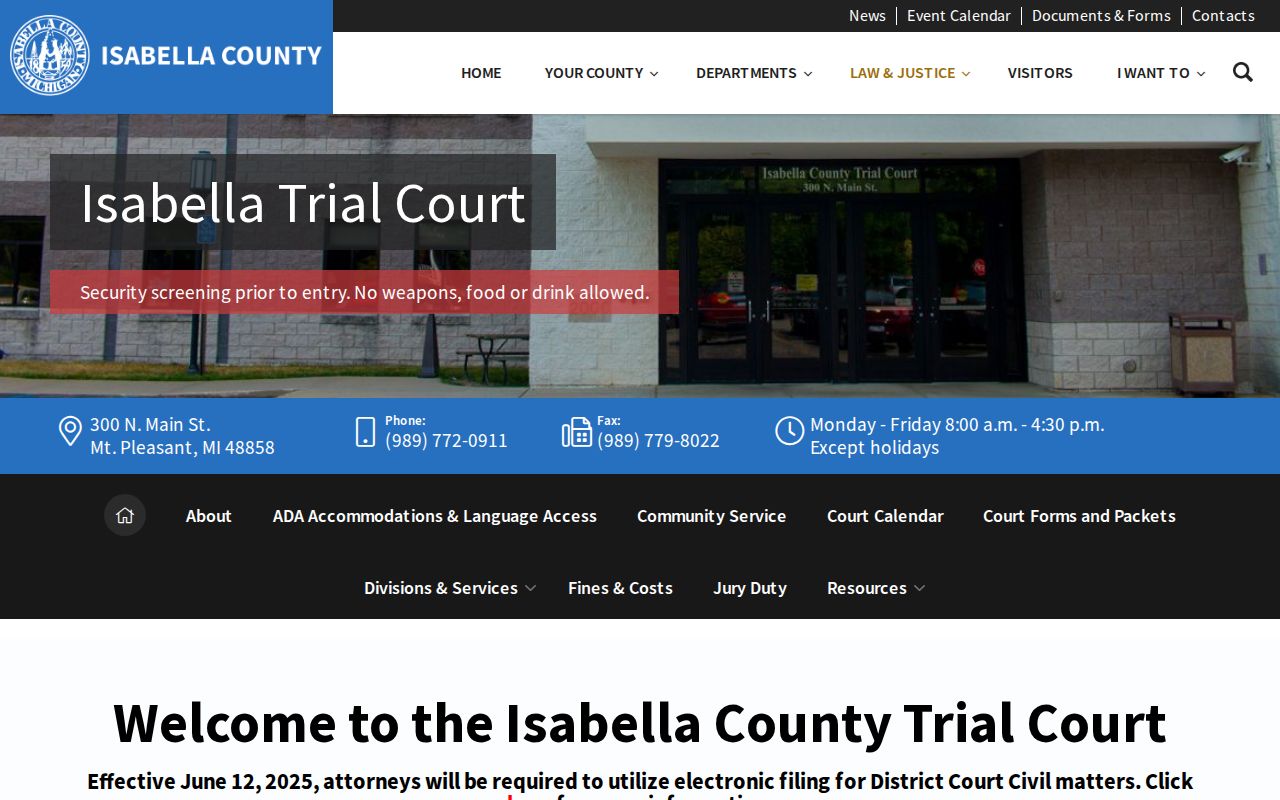
The Trial Court information helps separate a court-custodian question from a parcel-map question. It does not create a block directory or a personal connection between case parties and nearby addresses.
Federal matters use a separate system. PACER directs party or case-number searches through an account and Case Locator; no federal Mount Pleasant sample was captured in the research. A local MiCOURT result does not rule in or rule out a federal docket, and neither system should be used as a broad neighbor-search tool.
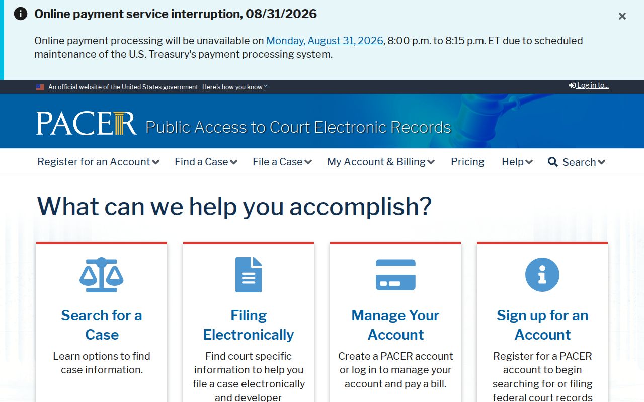
The federal route is included only to show that court records have distinct custodians and access conditions. It is not a source for identifying residents of a street or block.
Compare Mount Pleasant Neighbor Record Types
Official records and commercial neighbor-style results answer different questions. A good block note names the custodian, the date, and the exact relationship shown. Commercial results can be stale, merged across similar names, incomplete, paywalled, or unclear about their source. That does not make a public parcel or directory record complete either. It means a result should be checked against the source that created it.
| Record category | Useful block question | What it does not establish |
|---|---|---|
| Official map, assessment, or deed record | Parcel relationship, dated owner or tax field, and recorded legal interest | Current physical presence, household makeup, or a social connection |
| Official election record route | Limited registration or jurisdiction question under the applicable rules | Ownership, all people at an address, or permission to republish protected data |
| Historic directory or newspaper | A dated household, street, event, or place clue | A present-day address or a certified personal fact |
| Commercial neighbor-style result | A prompt to seek the original custodian record | Reliable identity, current address, or a complete block list |
Note: When a source conflicts with another source, preserve the citation and date, then ask the relevant custodian whether a correction, annotation, or newer record exists.
Privacy Limits for Mount Pleasant Neighbors
Michigan public-record access has limits. The Michigan Freedom of Information Act permits exemptions and redactions, including protections for some voter, victim, medical, juvenile, law-enforcement, and personal information. The Michigan Address Confidentiality Program under 2020 PA 301 and MCL 780.851 et seq. provides a designated address for qualifying participants. Never attempt to reverse a substitute address or identify a protected location from a parcel, voter, court, or other record.
Do not confront, contact, threaten, follow, or expose anyone based on an address result. A result can be old, wrong, or tied to another person with a similar name. If a property filing appears suspicious, contact the Register of Deeds with the instrument date and reference. If a public-safety record is needed, request the specific incident from its proper city or county custodian rather than using nearby parcels to identify uninvolved people.
Lawful use. Mount Pleasant neighbor research can support property history, civic context, and reconnection. Do not use records to watch, intimidate, harass, or harm another person.