
Mount Pleasant Previous Residents by Era
Mount Pleasant previous-resident research works best as an era-by-era trail, not as one claim about every person connected to a house. The present parcel and its legal description give the trail a stable starting point. From there, the Isabella County Register of Deeds can document recorded ownership interests, while directories, census material, newspapers, and obituaries may supply dated household evidence. The distinction matters: a named grantee is an owner in a dated instrument, not automatically the person who occupied the house. Likewise, a directory entry is a dated listing, not a deed.
| Trail source | Documented era | Where to start | What the record can show |
|---|---|---|---|
| Isabella land records | Paper records reach as far back as 1803 | Register of Deeds and its search routes | Recorded parties, instrument dates, legal descriptions, and document references |
| ROD imaging project | Deeds, surveys, and land corners back-indexed to 1940 in the 2022 report | Online index, then counter or tract route | Online lead for later land material; older completeness was not stated |
| Mount Pleasant directories | 1925-1998 listed with gaps; Luedders 1930 is identified | Library, Clarke, Library of Michigan, and 1930 archive | Dated household, street, telephone, or classification clues when present |
| Census and tax series | Federal census from 1870; state census 1884 and 1894; special city census 1976 | Archives of Michigan guide and library research | Period-specific household or taxpayer clues, subject to boundary changes |
| Sanborn maps | 1884, 1890, 1895, 1900, 1910, 1924, 1931, and 1950 | Institutional map collections and NPS bibliography | Building footprint, use, and street context, not a resident list |
Start with the era that matches the question. A recent ownership question may begin with a parcel and instrument. A 1930 household question may begin with the Luedders street section. For a nineteenth-century building, a legal description, map, and archival tax or land series may survive more reliably than a modern street-number search.
Mount Pleasant Parcels Before Names
A Mount Pleasant street address is useful, but it can change or be read differently in older material. Preserve the parcel number and legal description before searching names. BS&A Online for City of Mt Pleasant municipality 226 offers Address, Name, and Parcel Number searches, plus detailed, tax, assessing, and property-sale routes. County FetchGIS adds the parcel outline and nearby map context. The map is a discovery tool, not a survey or title decision.
Use the street address to obtain the parcel number, then save the portal year and the exact property fields used. The legal description ties that parcel to a recorded instrument. The house-history guidance from Clarke notes that a description can use an addition, block, and lot, such as an old Mount Pleasant addition, rather than the current mailing address. That is why a number-only search may fail when an older deed is indexed by subdivision or legal language.
- Parcel number
- A local property identifier used by assessment and map systems. It is usually steadier than a mailing address but still needs a source date.
- Legal description
- The lot, block, addition, section, or similar land wording that connects an instrument to the land. It is more useful than a street label when older address forms differ.
- Recorded instrument
- A filed land document, such as a deed, mortgage, release, easement, or affidavit. Its type must be read before drawing a conclusion.
Note: A tax or map record can name an owner or taxpayer, but it does not establish that person as an occupant of the address.
Search the Mount Pleasant Deed Chain
The Isabella County deed chain is the ownership layer for previous residents research. The Isabella County land-record search guidance describes searches by name, date, and liber or page, with a tract-index route for account holders. The public Quick Search can take a grantor, grantee, subdivision, document type, or document number. Advanced Search adds Party, Grantor, Grantee, recorded-date range, document type, book, liber, page, legal-type fields, and full-document-text OCR. Use an instrument as the source, not only a search-result line.
The county's 2022 digitization report says deeds, surveys, and land corners were imaged and indexed back to 1940. It does not state that the current portal has a complete online range for every earlier item. Pre-1940 mortgage and miscellaneous books were still being indexed in that project snapshot. If a link in the chain stops, ask the Register of Deeds about the counter, written search help, tract index, paper books, and the appropriate archival or library fallback.
Start with the Isabella County land-record search source page and copy guidance before using its record fields.
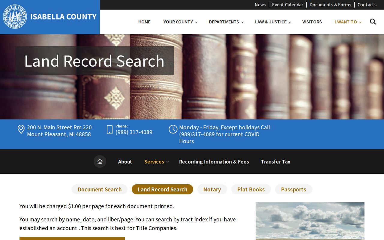
The service guidance supports a careful transition from a known party, date, or liber and page to the actual recorded instrument. It does not turn every indexed name into proof of residence.
- Find the current parcel in BS&A or FetchGIS and save its legal description, map date, and any current owner-of-record field.
- Search the current owner or legal wording in the Register of Deeds index. Record the instrument type, recording date, document number, and liber or page if shown.
- Read the document's grantee and grantor roles. A grantee receives an interest; a grantor conveys or transfers one. Do not count a mortgage, release, assignment, easement, or affidavit as a sale.
- Use the prior party and the legal description to locate the preceding conveyance. Keep each link dated and label any uncertain match.
- When online indexing no longer answers the question, shift to the Register of Deeds counter, tract route, paper books, Archives of Michigan guidance, or local historical collections.
- Grantor and grantee
- The grantor gives or transfers an interest. The grantee receives it. These roles can change from one document to the next.
- Chain of title
- A dated sequence of recorded interests tied to the same land. It documents land ownership history, not a complete household history.
- Liber and page
- A book and page reference used in older land-record systems. It helps retrieve the source again when a document number is not the key.
Pair Mount Pleasant Past Residents With Census
After the deed trail identifies an ownership period, pair it with a household source from the same period. The Library of Michigan explains that Polk directories can be organized by surname, street, phone, and classified section. Bresser criss-cross directories can organize information by street and address, often with the head of household, telephone, a tenure notation, first-year listing, or relocation clue when the edition provides those features. Use the specific edition's legend instead of assuming each entry includes every field.
The Library of Michigan directory guide is a useful source for understanding those directory formats and holdings.
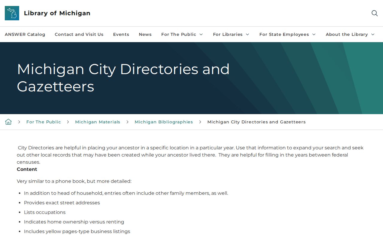
A directory supplies a dated address clue. It should be paired with the edition year, page or image, and a second record type before it is treated as a strong household conclusion.
- Select the nearest directory year to the deed or tax period and search the street or the surname, depending on the edition's arrangement.
- Copy the address exactly as printed, including abbreviations and any tenure marker. Keep the publisher, year, section, and scan or page citation.
- Compare that result with the closest accessible federal, state, or special Mount Pleasant census material. Interpret it with the period township or village boundary, not a current ZIP boundary.
- Use a newspaper item, obituary index, yearbook, or permit as a separate dated clue when the directory and census do not agree.
The 1930 Luedders directory is an especially useful Mount Pleasant anchor because its archive identifies alphabetical, street, and classified navigation. The NPS bibliography lists local directory years from 1925-26 through 1998 with gaps. The historical collections themselves are described in the Mount Pleasant city directory collections.
Mount Pleasant Addresses Through Fires
Older downtown results can break when the building history changes. The NPS downtown nomination notes fires in 1875, 1882 south of Broadway, and 1895 west of Bennett. It also lists Sanborn map years from 1884 through 1950. A Sanborn sheet can show a building's footprint, materials, stories, and use around a dated map year. It cannot identify the people who lived there.
For a property that seems to vanish, compare the parcel or legal description with the earlier street form, the relevant addition, and a Sanborn edition before and after the likely change. Bentley's Addition dates to 1867, Smith/Hopkins to 1875, and Kinney to 1877 in the NPS history. These are search clues, not a shortcut for equating an old address with a present parcel. A deed or plat check still decides whether the land relationship holds.
Note: A fire, rebuilding, or altered street number can explain a missing address entry without proving that a household moved away.
Mount Pleasant Past Households Need Labels
Past residents are best reported in source-specific terms. Use “recorded grantee on the deed date” for a person named as grantee in a deed, “named in land or tax source” for a tax-roll or plat-book result, and “directory-listed household” for a dated directory entry. This wording keeps owner, taxpayer, occupant, voter, and relative from being blended into one claim. A directory can include a person who did not own the house. A deed can name an owner who lived elsewhere.
CRDL's local-history resources include city directories, obituary indexing, newspapers, yearbooks, cemetery references, and links to related collections. Its obituary index is reported from 1875 to the present, and the local newspaper archive has more than 12,000 pages, chiefly from 1956-1996 with some 1930s material. Search a surname with a street, school, church, business, event, or date, then verify OCR against the page image. An obituary can connect a family clue, but it is not a certified vital record or proof of a final residence.
Lawful use. Mount Pleasant house-history research is for family history, estate questions, and personal property curiosity. Do not use a dated record to track, confront, harass, or expose a living person.